 The resolution of any image is relative to the detail it displays—the higher the imagery resolution, the more detail that can be seen. This also is true with an orthophoto—but because the photos have been made into a mapping product, resolution refers specifically to pixel size in the imagery, correlating to the actual map distance that a single pixel covers on the ground (i.e., for a 3-inch ortho, 1 pixel represents a 3-inch square). Depending on the pixel size, or Ground Sample Distance (GSD), certain features can be recognized in an ortho, and a 3-inch per pixel image will show much more detail than a 12-inch per pixel image.
Orthoimagery can be delivered at various imagery resolutions for different project requirements. Imagery resolution specifications are met by acquiring imagery at specific flying altitudes and speeds, and also are dependent on the focal length and format of the imaging sensor.
Captured at lower altitudes, 1-Inch resolution orthophotography delivers the highest available resolution, providing a product that captures the greatest visible detail, combined with the highest positional accuracy possible.
Key Features
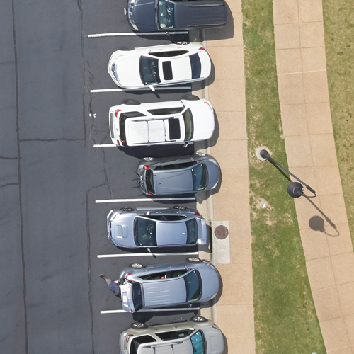
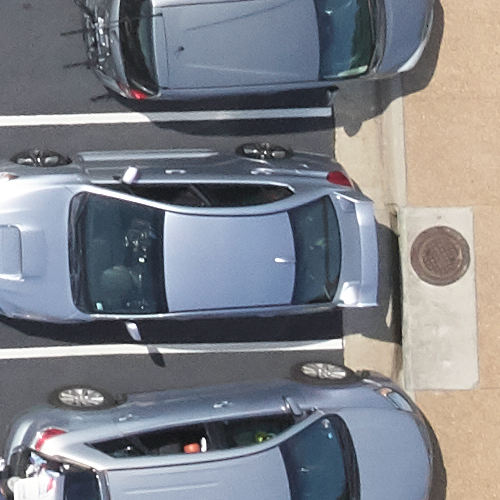
3-inch resolution orthoimagery is becoming a standard deliverable option. The 3-inch resolution product yields excellent accuracy, greater detail, and improved inherent positional accuracy over lower resolution ortho products.
Key Features
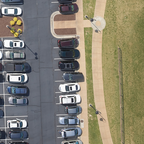
Captured at higher altitudes, 6-inch resolution orthoimagery provides a good imagery scale, but at a lower resolution. It is an economical option when a project requires acquisition of larger-areas on shorter timeframes.
Key Features