How is LiDAR Made?
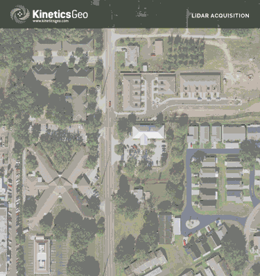
A LiDAR acquisition system—a specialized laser and scanner, an IMU, and GPS receiver—can be operated from various platforms, including fixed-wing aircraft, helicopters, UAV, ATV, automobile, watercraft, and even a backpack. The LiDAR sensor acquires data for a targeted area from an aircraft using a pulse / beam of laser light that is reflected back to the sensor by the surface it encounters.
1 The airborne LiDAR sensor instantly records / measures the range of this reflected pulse / beam of light hundreds of thousands of times per second for the entire LiDAR acquisition mission.
2 The recorded returned laser measurement / ranges are then reconciled with the GPS and IMU data, scan angles, and LiDAR calibration data.
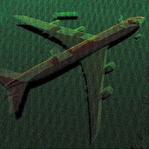
3 Upon completion of a series of post-flight software production processes and stringent QA / QC oversight and review, a highly detailed point cloud set of elevation data points is produced. Each point in the LiDAR point cloud contains data for the latitude, longitude, and elevation that correspond to that particular location on the Earth's surface.
Sample LiDAR Point Cloud