SYSTEMS (GIS)
A Geographic Information System (GIS) is a mapping tool created by combining a database with geospatial software. It’s a powerful application for the management, analysis, visualization, and organization of data pertaining to different types of natural and man-made features on an associated base map.
Data Gap and Risk Analysis
GIS data gap and risk analysis results of assets for possible risk and accuracy to assist clients in asset management and planning.
Transmission and Gathering Pipeline Analysis
- Structure Collection and Classification
- Real-Time GPS Field Collection and Verification
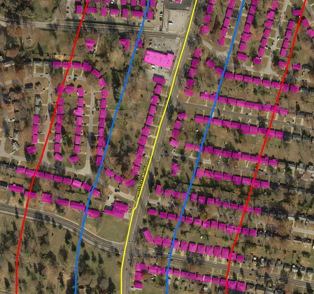
- Distribution Pipeline Class Location Analysis
- Transmission Pipeline Class Location
- MCA and HCA Analysis
- Gathering Pipeline Class Location and HCA Analysis
- Final Reporting
GIS Workflow Solutions
Significantly reduce costs by utilizing various mobile application solutions in navigation, assigned asset inspections, leak surveys, dashboards, and GPS collection.

Enterprise GIS Training
Mobile, desktop, and server application training involving all users of the GIS organization.

Data Asset Management and Analysis
Transform information into a GIS based database from various formats including:
- Paper as-built maps, CAD, Spreadsheet Files
- GPS data, and other asset information
- Spatially adjust GIS data to match base map layers, data entry to update asset information, and data conflation
- Data gap and risk analysis results of assets for possible risk and accuracy to assist clients in asset management and planning
- Document Scanning and GIS Integration
Applying geospatial science to maps, data, analytical tools, and software applications, a GIS helps with organization, analysis, and collaboration, delivering actionable information for:
- ENGINEERING
- CONSTRUCTION
- MUNICIPAL PLANNING / MANAGEMENT
- REAL ESTATE
- TRANSPORTATION / LOGISTICS
- INSURANCE
- TELECOMMUNICATIONS
- ENERGY / UTILITIES
- NATURAL RESOURCES MANAGEMENT
- ENVIRONMENTAL STUDIES
- BUSINESS
- PUBLIC SAFETY
- EDUCATION
- PUBLIC HEALTH